From Banff to Bryce Canyon: The Ultimate Cross-Border National-Park Road Trip Guide
Picture this: crisp alpine air in your lungs, red-rock hoodoos on the horizon, and zero panic about roaming fees as you livestream it all to friends back home. Whether you’re a Canadian itching to explore south of the border or an American looking to tack on a northern detour, this Banff-to-Bryce route stitches together some of the most jaw-dropping parks in North America. Saddle up for a 1,500-mile adventure that trades city lights for starlit skies—and gives you the nitty-gritty for smooth driving, epic hiking, and hassle-free cell service along the way.
Why This Route Rocks
- Bucket-List Variety. Glaciers? Check. Geysers? You bet. Mars-like deserts? Absolutely.
- Border-Hopping Ease. One straightforward crossing at either Chief Mountain or the Carway–Piegan port of entry sends you from Canada’s Rockies straight into Montana’s.
- Year-Round Viability. With smart timing, you can tailor the trip for summer hiking, wildflower season, or winter snowshoeing (just watch for seasonal road closures).
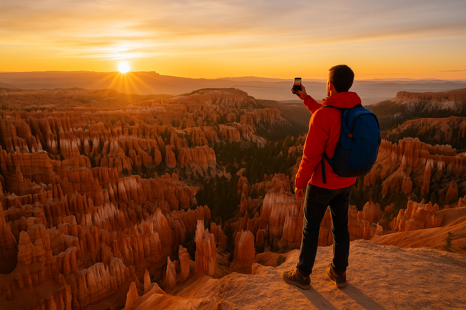
- Photography Gold. From Banff’s Moraine Lake to Bryce’s crimson amphitheatre, your camera roll will never recover.
Pre-Trip Planning Checklist
1. Documentation & Border Requirements
- Passport & ID. Canadians need a valid passport; U.S. citizens re-entering the States require one too.
- Vehicle Papers. Pack registration and proof of insurance that covers both countries. Some insurers need a “Canada Non-Resident Inter-Province Motor Vehicle Liability Card” (AKA the yellow card).
- Parks Passes.
- Canada: Pick up a Discovery Pass for unlimited entry to Banff, Yoho, and more.
- USA: The America the Beautiful Pass covers every National Park Service site for a year—worth its weight in gas receipts.
2. Staying Connected on the Road
Canadian phone plans can get pricey once you cross the 49th parallel, and U.S. prepaid SIMs often require a stateside address. Skip the SIM swap entirely by installing a Holafly eSIM for the USA before you leave. Scan the QR code, choose your data pack (from five days to three months), and activate as soon as you cross the border—no plastic, no roaming shock.
3. Safety & Navigation Apps
- Offline Maps: Download park zones in Google Maps and Maps.me.
- AllTrails: Trail reviews and real-time condition reports.
- iOverlander: Handy for finding free or low-cost campsites on BLM land in Utah.
The Road-Trip Itinerary (About 10–14 Days)
Pro Tip: Mileages below assume Calgary as your Canadian jump-off and Las Vegas (nearest major airport to Bryce) as the finish line.
| Leg | Distance | Highlights | Must-Do Activity |
| 1. Calgary → Banff & Yoho (AB/BC) | 80 mi | Lake Louise, Moraine Lake, Takakkaw Falls | Sunrise paddle on Moraine |
| 2. Banff → Glacier NP (MT) | 185 mi | Going-to-the-Sun Road, Many Glacier | Hike Grinnell Glacier Trail |
| 3. Glacier → Yellowstone & Grand Teton (WY) | 430 mi | Old Faithful, Grand Prismatic, Teton Range | Snake River float trip |
| 4. Teton → Arches & Canyonlands (UT) | 380 mi | Delicate Arch, Island in the Sky | Sunset at Dead Horse Point |
| 5. Moab → Capitol Reef NP (UT) | 150 mi | Fruita orchards, Cathedral Valley | Pick fresh peaches in season |
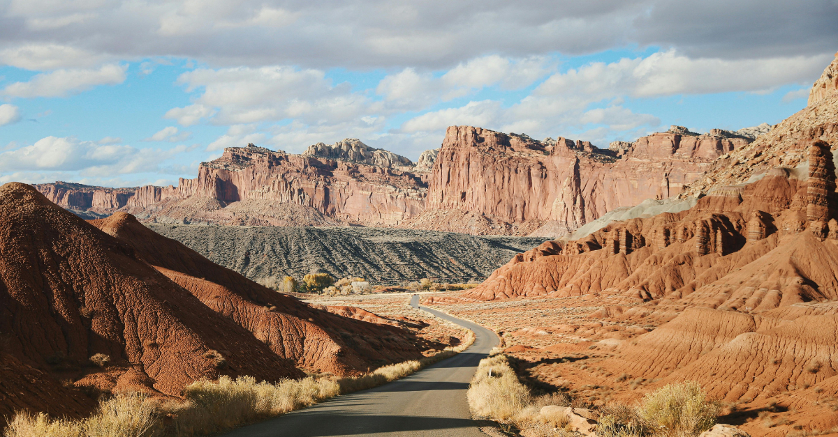
| 6. Capitol Reef → Bryce Canyon NP (UT) | 115 mi | Scenic Byway 12, Kodachrome Basin | Full-moon hike among hoodoos |
| 7. Bryce → Zion NP → Las Vegas (NV) | 260 mi | Angels Landing, Valley of Fire | Narrows day hike |
Check seasonal road status via Parks Canada and the U.S. NPS sites before locking in dates.
Leg 1: Banff & Yoho—Rocky Mountain Classic
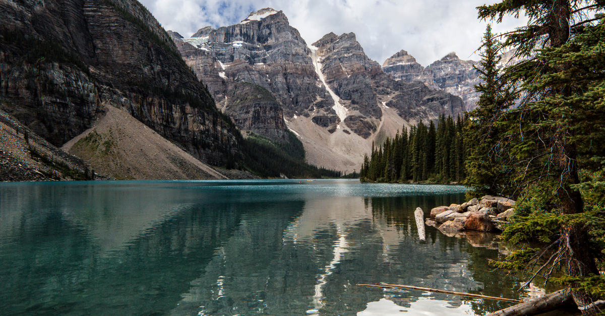
Spend two nights chasing turquoise lakes, then venture west to Yoho for the lesser-known—but no less epic—Emerald Lake canoe scene.
Leg 2: Crossing into Glacier National Park
Chief Mountain Border Station (open May–Sept.) feeds you directly onto Going-to-the-Sun Road. Reserve a drive-through ticket in peak season to avoid the dreaded entry cap.
Leg 3: Yellowstone & Grand Teton—Geothermal Meets Granite
Score sunrise at Schwabacher Landing, then head to Yellowstone’s Midway Geyser Basin for the neon blues of Grand Prismatic. Campsites fill months ahead; check recreation.gov for cancellations.
Leg 4–5: Utah’s Mighty Five Segment
Arches and Canyonlands cluster around Moab. For an under-the-radar detour, veer south on Utah 95 to Natural Bridges National Monument. In Capitol Reef, the free fruit orchards are a delicious bonus—just snack responsibly.
Leg 6–7: Bryce & Zion Finale
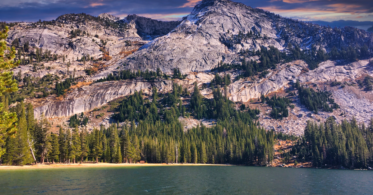
Bryce’s elevation keeps temps cool even in July. Hit the Peek-a-Boo Loop or book a full-moon ranger hike. Cap off your journey in Zion, but arrive at the shuttle before 7 a.m. to beat the Angel’s Landing permit crowd, then roll into Vegas for a well-earned shower and celebratory buffet.
What to Pack (Leave-No-Trace Friendly)
- Reusable water bladder (3 L minimum for desert sections)
- Layerable clothing—90°F in Moab can swing to 35°F at Bryce after sunset
- Bear spray (legal in U.S. parks; unavailable inside Yellowstone lodges)
- Microspikes (if travelling shoulder season)
- Paper maps—Think Backroad Mapbooks (Canada) & Benchmark Atlases (USA)
- Solar battery bank for trailhead recharging
- Good vibes & patience (wildlife jams in Yellowstone are real)
Budget Breakdown (Per Person, Two-Week Trip)
| Category | CAD | USD (approx.) | Notes |
| Gas (1,500 mi @ 25 MPG) | $450 | $330 | Price swings in rural Utah; fill up early |
| Park passes | $145 | $110 | Discovery Pass + America the Beautiful |
| Camp fees | $260 | $190 | Mix of paid ($15–$30) and free BLM spots |
| Groceries & dining | $600 | $440 | Costco run before the border saves $$ |
| eSIM data (15-day) | $37 | $27 | Holafly 6 GB package |
| Total | ≈$1,492 | ≈$1,097 | Excluding gear and souvenirs |
Leave No Trace & Safety Tips
- Wildlife Distance: 100 yards from bears/wolves; 25 yards from everything else.
- Stay on Cryptobiotic Soil: In Utah’s high desert, one footstep can kill decades-old living crust.
- Bear-Proof Your Food: Use metal lockers where provided. In Teton backcountry, a bear-resistant canister is mandatory.
- Hydrate or Die-drate: Desert parks average <10% humidity; aim for 4 L consumption daily.
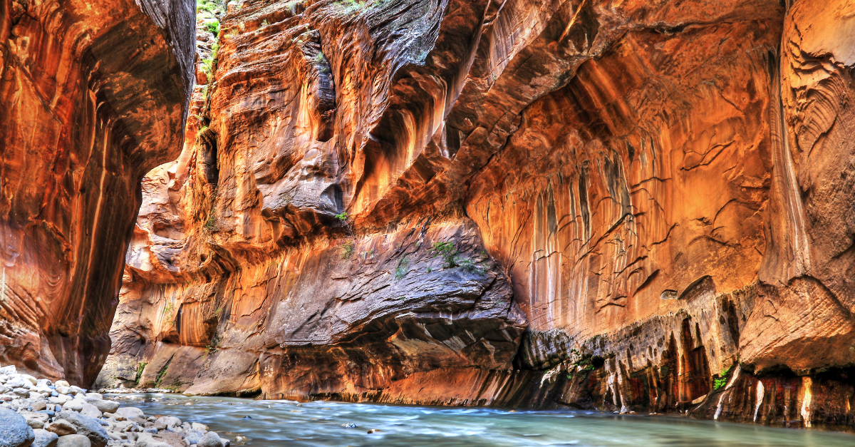
- Check Flash-Flood Forecasts: Slot canyons like The Narrows turn deadly with upstream storms.
Final Thoughts
A Banff-to-Bryce road trip distills the best of North America into one unforgettable odyssey: glacier-fed lakes, geothermal wonders, red-rock cathedrals, and more wildlife cameos than a nature doc. With your border paperwork sorted, campsites reserved, and Holafly eSIM for the USA loaded up, you’re free to focus on the fun stuff—like debating whether poutine beats fry bread or counting how many times Old Faithful erupts before lunch. So fire up that playlist, check your tire pressure, and roll south (or north!) into a panorama that changes by the mile yet keeps you connected every inch of the way. Happy trails!